The Stour Survey
We've split the Stour into 30 individual mile-long sections. Using a purpose-built mobile app we're photographing the things we're seeing along the way.
We're collecting information on:
- Bridges
- Any activity / clubs on the river
- Any ideas / inspiration
- Infrastructure
- Anyone wanting to get involved
- Views of the river
- Plants & Invasive species
- Points of interest
- Barriers in the river
- Rubbish
- Stories
- Trail / path quality
- Signposts
- Anything else...!
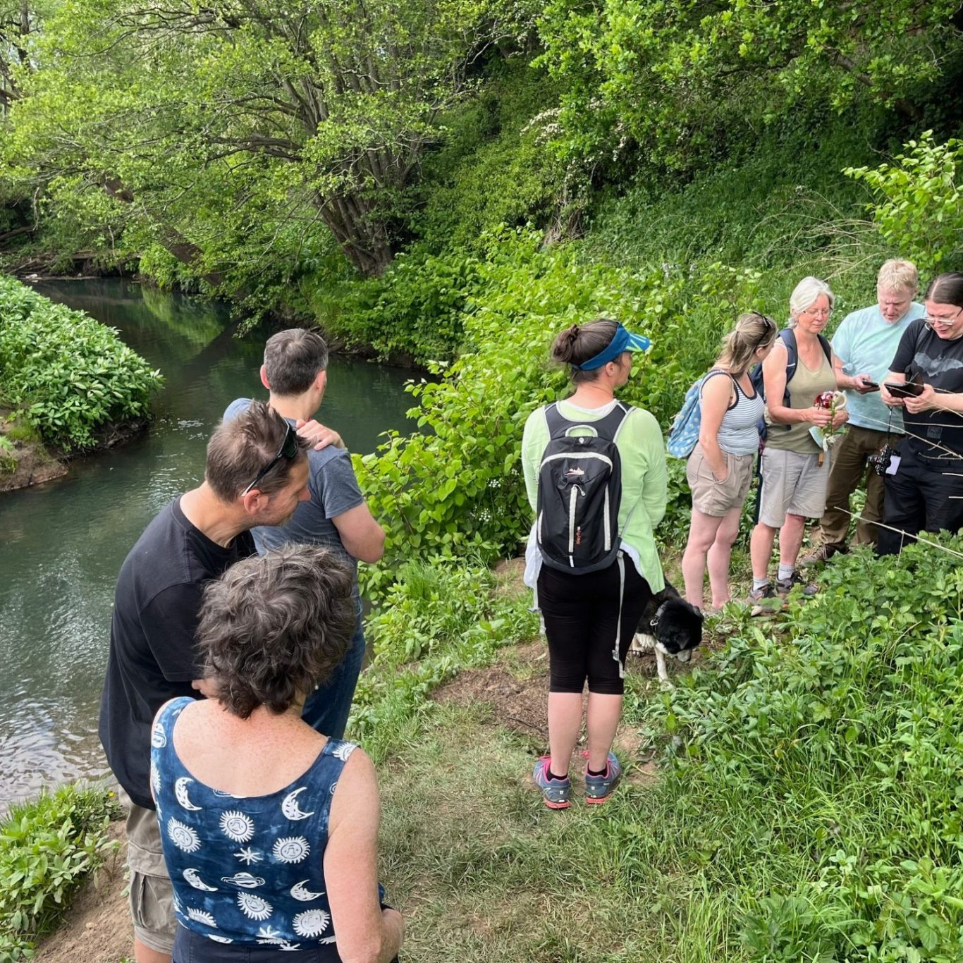
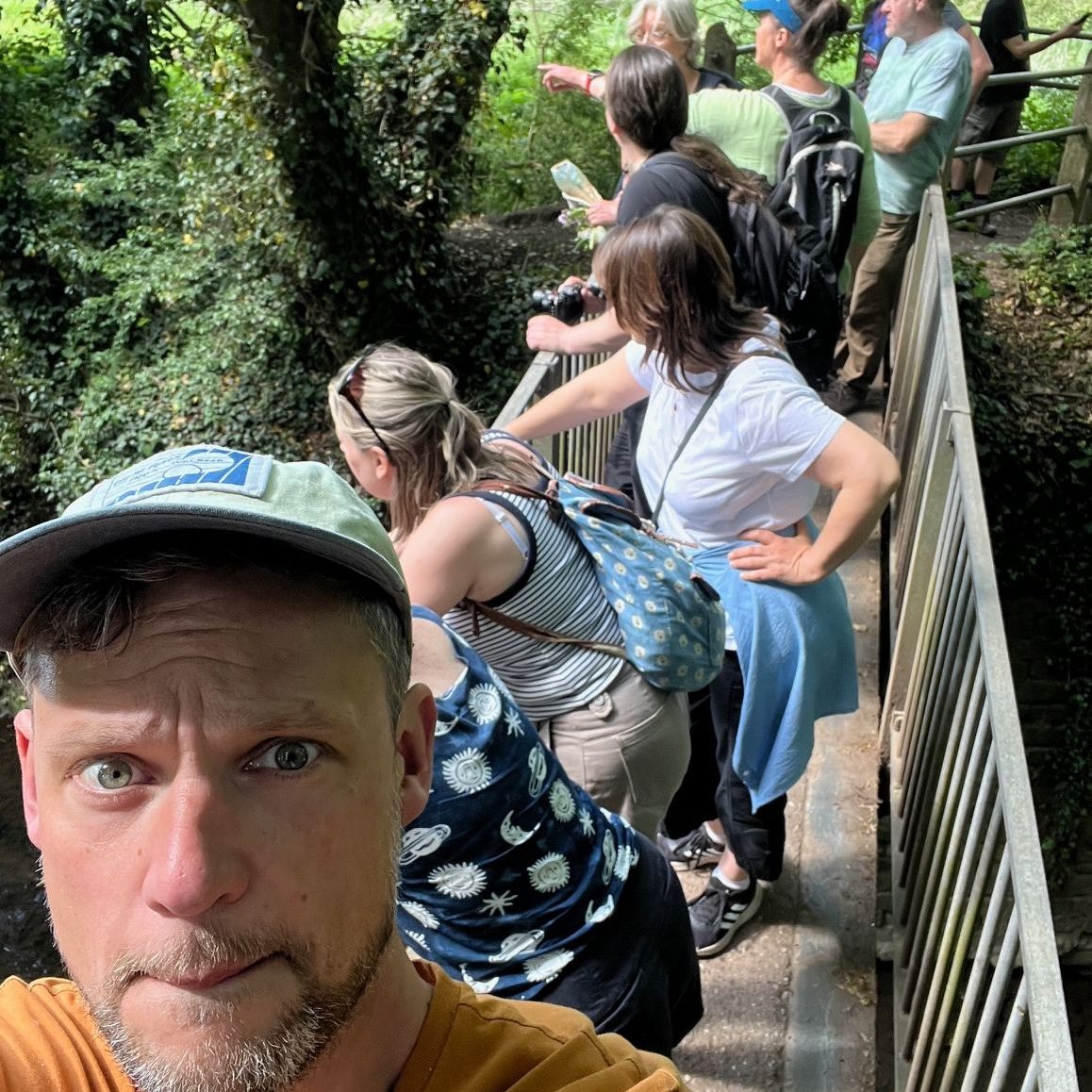
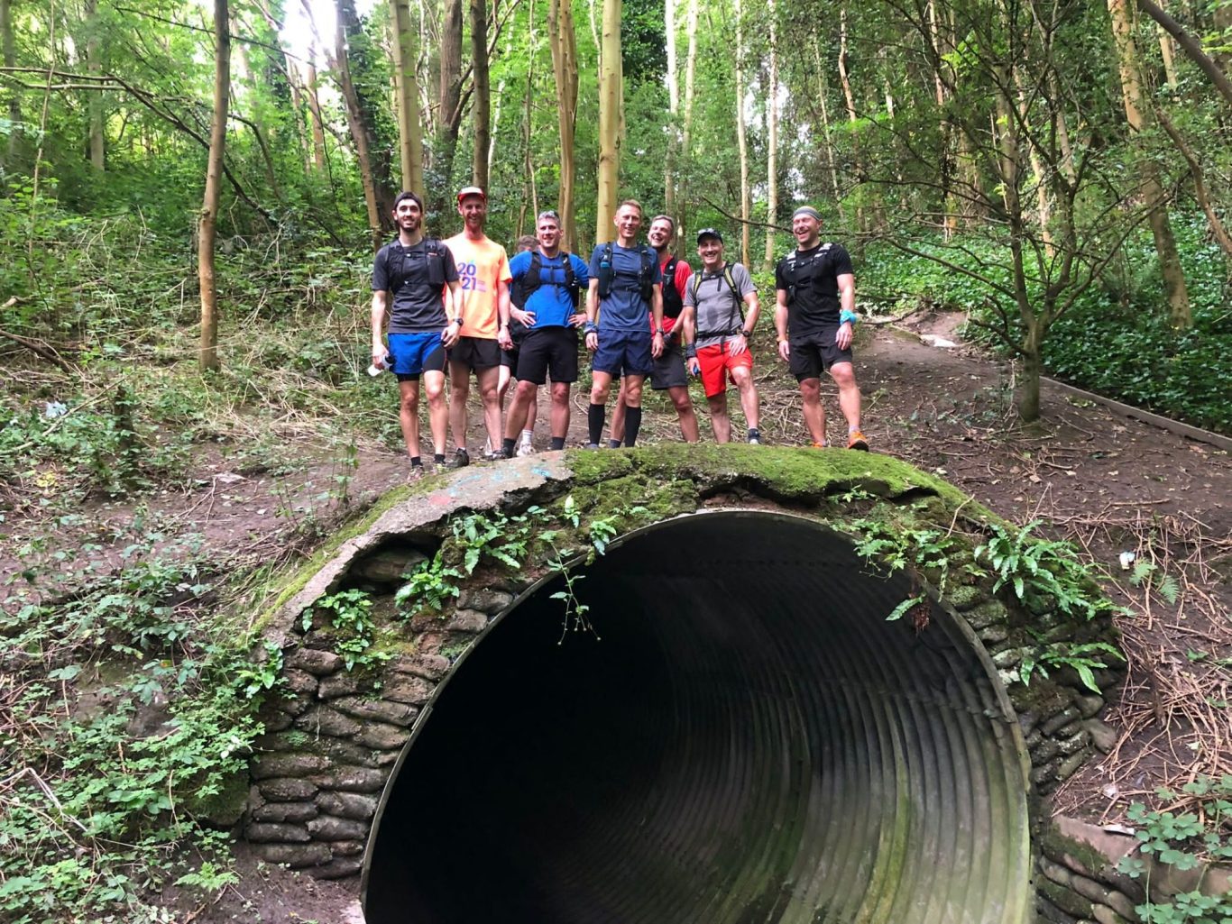
Out and about
The survey work will help us build a good understanding of the full health, history and features of the river, to help us target opportunities for improvement in years to come. Although the target is to get at least one indivudual as a named 'owner' of each mile and lead on their section, we aim to meet up once every couple of months for a walk of a mile or two and share local knowledge.
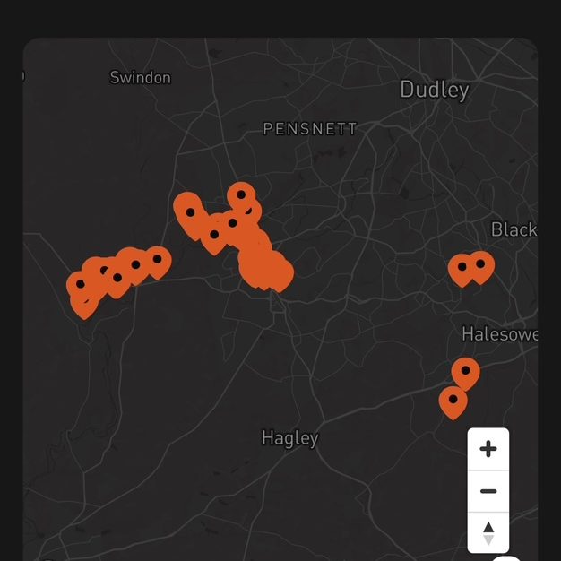
Building the picture
Over the next few months we're aiming to fill out the course of the river with geo-located photos and short comments to act as a record of what we've found. The data can be easily filtered and exported for use in the future.
Finding the hidden gems...
The Stour holds some wonderful secrets along its course - we want to work to protect them and ensure they thrive